Via Romea Germanica Imperiale
The Via Romea Germanica Imperiale is a path of almost 600 km that crosses 4 regions and 65 municipalities from Trento to Arezzo. It runs along road routes used since ancient times by Celtic, Etruscan and Roman populations, and today it is also possible to travel it on foot or by bicycle. Part of this itinerary takes place in the area of Prato and, according to the stages conventionally attributed, stages 18 and 19 take place here.
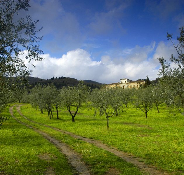
This route unites the past with the present, re-adapting the existing road network to offer an engaging itinerary for walkers and cyclists. There are no new routes, but parts of ancient routes that make every step an immersion in history. Along the way, you meet extraordinary natural and architectural emergencies, many of which are recognized as UNESCO heritage sites.
The number of recommended stages is 23 but you can decide independently to follow them all or to adapt the route to your needs, thus creating your own tailor-made experience. Thanks to the hospitality network along the way, you will be able to design your own journey and experience a timeless adventure. If you prefer to explore the route by bicycle, you will reduce the time and be able to complete the entire journey in a week, experiencing the thrill of covering longer distances.
Walk or cycle towards new discoveries, crossing breathtaking landscapes and being fascinated by the treasures that await you along this epic route. In this adventure, you will never be alone: prestigious writers and artists have crossed this thousand-year-old road to immerse themselves in the beauty of Italy during their evocative grand tours.
To find out more: www.viargimperiale.it
Technical information Technical information
Total length: 563.6 km
Total duration: 23 days
Stages: it crosses 4 regions, an autonomous province, a metropolitan city and 65 municipalities
Connections:
Stages in the territory of Prato:
From Pistoia to Prato From Pistoia to Prato
 Total length: 27.6 km
Overall height difference uphill: + 374 m
Total duration: 7.5 hours
Connections:
- Wool and Silk Route
- Via Francigena
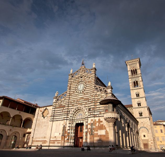
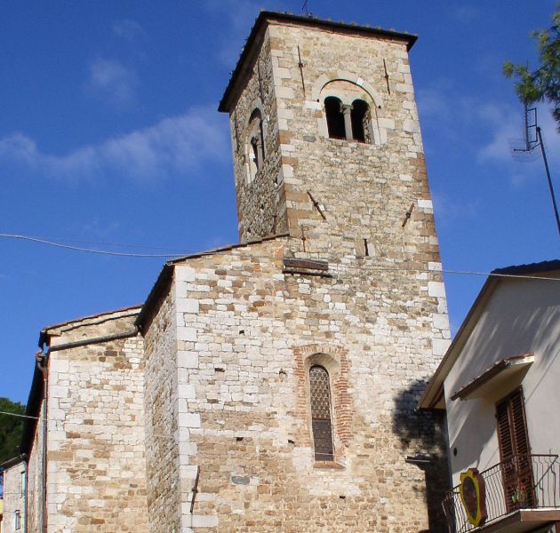
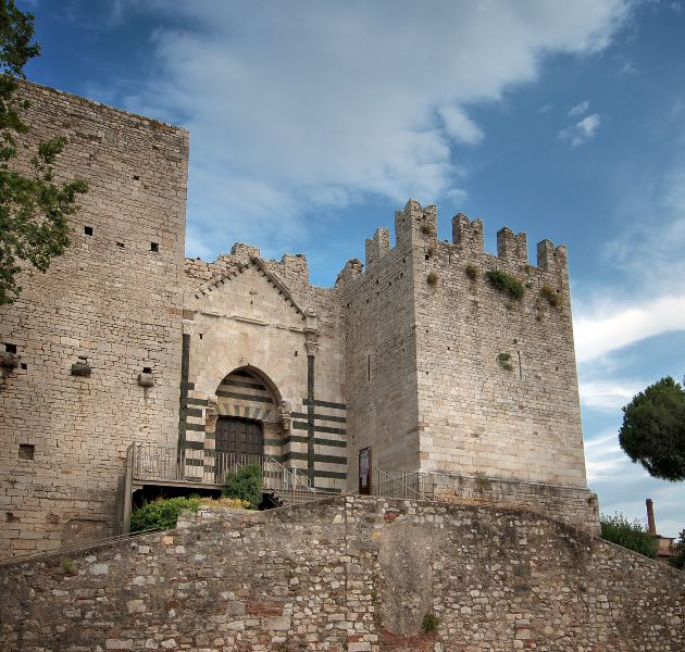
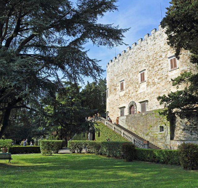
Prato stage begins by crossing the town of Montemurlo with its Fortress and the parish church of San Giovanni beheaded. Continuing you arrive in front of the Villa del Barone, the village of Figline of Prato and its parish church, and then descend into the center of Prato along the cycle path on Bisenzio river.
From Prato to Florence From Prato to Florence
 Total length: 30.3 km
Overall height difference uphill: + 172 m
Total duration: 7 hours
Connections:
- Wool and Silk Road
- Via Francigena
The departure from Prato takes place along the cycle path that runs along the Bisenzio river and leaves the center in the direction of Calenzano, passing near the former Marchino cement factory, from where the view extends over the entire surrounding plain.
Along the route
Gallery


